-
7 ممارسات في دراسة رسم الخرائط الحرارية تُبسّط الاستعداد للتدقيق في جدة والدمام دراسة توزيع درجات الحرارة

يُعد الاستعداد لعمليات التدقيق التنظيمي في مرافق التخزين ذات التحكم الحراري تحدياً كبيراً، خاصة في المدن الساحلية مثل جدة والدمام، حيث تؤثر الرطوبة العالية ودرجات الحرارة المرتفعة بشكل مباشر على استقرار المنتجات الحساسة. وتتطلب الجهات الرقابية أدلة واضحة تُثبت أن المنتجات تُخزَّن ضمن بيئات مُتحكم بها ومُعتمدة. وهنا تبرز أهمية دراسة رسم الخرائط الحرارية كأداة…
-
7 Temperature Mapping Practices That Simplify Audit Preparation in Jeddah and Dammam

Preparing for regulatory audits in temperature-controlled facilities can be challenging, especially in coastal cities like Jeddah and Dammam, where high humidity and extreme heat increase environmental risks. Regulatory bodies expect clear evidence that temperature-sensitive products are stored under controlled and validated conditions. This is where a well-planned temperature mapping study becomes one of the most…
-
8 سيناريوهات واقعية لدراسات خرائط الحرارة يجب أن يتوقعها كل مدير منشأة في السعودية دراسة توزيع درجات الحرارة

يواجه مديرو المنشآت في المملكة العربية السعودية تحديات متزايدة في الحفاظ على ظروف بيئية مستقرة داخل المستودعات، والمصانع، والمرافق الصحية، والمراكز اللوجستية. فدرجات الحرارة المرتفعة، وتقلبات الرطوبة، وكثافة العمليات التشغيلية، والمتطلبات التنظيمية الصارمة تجعل التحكم الحراري أولوية مستمرة. تساعد دراسة خرائط الحرارة المديرين على توقع السيناريوهات الواقعية التي قد تؤثر على سلامة المنتجات، وأداء المعدات،…
-
8 Real-World Temperature Mapping Scenarios Every Saudi Facility Manager Should Anticipate

Facility managers across Saudi Arabia face increasingly complex challenges when maintaining stable environmental conditions in warehouses, production plants, healthcare facilities, and logistics centers. Extreme heat, fluctuating humidity, heavy operational loads, and strict regulatory requirements make temperature control a constant priority. A well-planned temperature mapping study helps facility managers anticipate real-world scenarios that could impact product…
-
5 مزايا طويلة الأمد لتقليل التكاليف من خلال تطبيق دراسة خرائط الحرارة في منشآت السعودية دراسة توزيع درجات الحرارة

في مختلف أنحاء المملكة العربية السعودية، تواجه المنشآت التي تدير مستودعات، ومرافق دوائية، ومصانع، ومراكز لوجستية تحديات متزايدة في التحكم بالتكاليف مع الالتزام الصارم بمعايير التحكم البيئي. فدرجات الحرارة المرتفعة، وارتفاع تكاليف الطاقة، والمتطلبات التنظيمية تجعل التحكم الحراري تحديًا ماليًا طويل الأمد. وهنا تأتي دراسة خرائط الحرارة كاستثمار استراتيجي طويل المدى، وليس مجرد إجراء امتثال.…
-
5 Long-Term Cost Advantages of Implementing Temperature Mapping in Saudi Facilities

Across Saudi Arabia, businesses operating warehouses, pharmaceutical facilities, manufacturing plants, and logistics hubs face increasing pressure to control costs while maintaining strict environmental standards. Extreme heat, rising energy prices, and regulatory requirements make temperature control a long-term financial challenge. Implementing a professional temperature mapping study is not just a compliance exercise—it is a strategic investment…
-
6 أساليب معتمدة على البيانات لدراسة خرائط الحرارة تُحسّن مراكز التوزيع في الرياض دراسة توزيع درجات الحرارة
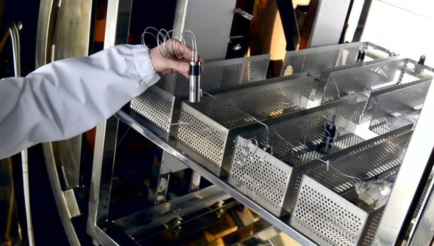
تلعب مراكز التوزيع في الرياض دورًا محوريًا في دعم شبكة الخدمات اللوجستية وسلاسل الإمداد المتنامية في المملكة العربية السعودية. ومع تزايد تخزين وتوزيع المنتجات الحساسة لدرجات الحرارة مثل الأدوية، والمواد الغذائية، والإلكترونيات، أصبح التحكم الدقيق في البيئة التخزينية ضرورة تشغيلية لا يمكن تجاهلها. وهنا تأتي أهمية دراسة خرائط الحرارة كأداة تحليلية تعتمد على البيانات لضمان…
-
6 Data-Focused Temperature Mapping Methods Improving Distribution Centers in Riyadh
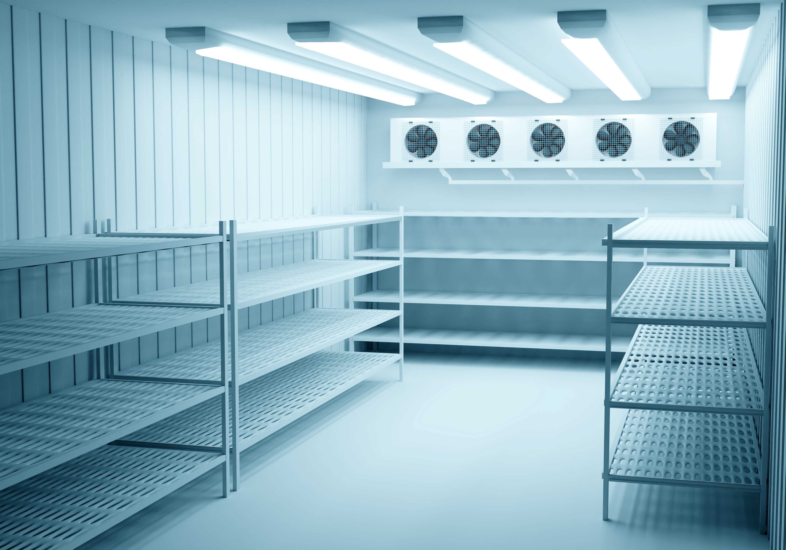
Distribution centers in Riyadh play a vital role in supporting Saudi Arabia’s fast-growing logistics and supply chain network. With increasing volumes of temperature-sensitive goods such as pharmaceuticals, food products, and electronics, maintaining strict environmental control has become a critical operational priority. A well-executed temperature mapping study provides data-driven insights that help distribution centers maintain product…
-
6 أساليب معتمدة على البيانات لدراسة خرائط الحرارة تُحسّن مراكز التوزيع في الرياض دراسة توزيع درجات الحرارة
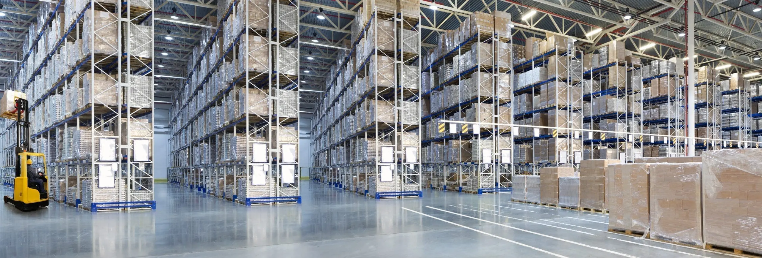
تلعب مراكز التوزيع في الرياض دورًا محوريًا في دعم شبكة الخدمات اللوجستية وسلاسل الإمداد المتنامية في المملكة العربية السعودية. ومع تزايد تخزين وتوزيع المنتجات الحساسة لدرجات الحرارة مثل الأدوية، والمواد الغذائية، والإلكترونيات، أصبح التحكم الدقيق في البيئة التخزينية ضرورة تشغيلية لا يمكن تجاهلها. وهنا تأتي أهمية دراسة خرائط الحرارة كأداة تحليلية تعتمد على البيانات لضمان…
-
6 Data-Focused Temperature Mapping Methods Improving Distribution Centers in Riyadh
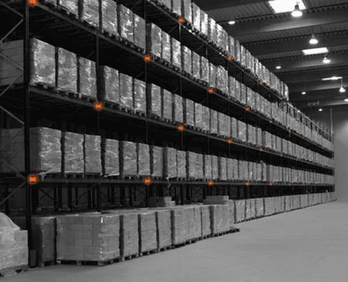
Distribution centers in Riyadh play a vital role in supporting Saudi Arabia’s fast-growing logistics and supply chain network. With increasing volumes of temperature-sensitive goods such as pharmaceuticals, food products, and electronics, maintaining strict environmental control has become a critical operational priority. A well-executed temperature mapping study provides data-driven insights that help distribution centers maintain product…
Search
About
Lorem Ipsum has been the industrys standard dummy text ever since the 1500s, when an unknown prmontserrat took a galley of type and scrambled it to make a type specimen book.
Lorem Ipsum has been the industrys standard dummy text ever since the 1500s, when an unknown prmontserrat took a galley of type and scrambled it to make a type specimen book. It has survived not only five centuries, but also the leap into electronic typesetting, remaining essentially unchanged.
Archive
Categories
Recent Posts
- 9 معايير أساسية يحللها الذكاء الاصطناعي خلال دراسات رسم خرائط درجات الحرارة في المملكة العربية السعودية دراسة توزيع درجات الحرارة
- 9 Key Parameters AI Analyzes During Temperature Mapping Studies in Saudi Arabia
- 5 AI-Powered Temperature Mapping Strategies to Improve Compliance in Riyadh & Jeddah
- 5 استراتيجيات لرسم خرائط درجات الحرارة المعززة بالذكاء الاصطناعي لتحسين الامتثال في الرياض وجدة دراسة توزيع درجات الحرارة
- 10 أسباب تدفع المنشآت في السعودية للتحول إلى دراسات رسم خرائط درجات الحرارة المدعومة بالذكاء الاصطناعي دراسة توزيع درجات الحرارة
Tags
Gallery


