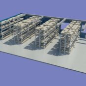
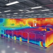
As urbanization rapidly transforms cities into dense and dynamic ecosystems, integrating innovative technologies becomes essential to ensure sustainability, comfort, and safety. One such powerful tool that is increasingly being adopted in smart city development is the temperature mapping study. At Eximia360, we specialize in advanced temperature mapping studies and environmental data solutions that support smarter urban planning across Saudi Arabia, including major cities such as Jeddah, Dammam, and Riyadh. Learn more at www.eximia360.com.
Why Temperature Mapping is Vital for Smart Cities
A temperature mapping study involves the systematic collection and analysis of temperature variations across different areas within a specific environment—whether it’s a neighborhood, industrial zone, or urban corridor. In smart city planning, this data helps city engineers and architects understand how heat is distributed and where temperature anomalies occur.
For instance, certain areas may retain more heat due to building materials, traffic congestion, or lack of vegetation, forming what are known as urban heat islands. A well-executed temperature mapping study reveals these zones, enabling cities to make informed decisions on zoning, energy use, and infrastructure design.
Applications in Saudi Arabia’s Growing Cities
In cities like Riyadh, where summer temperatures can exceed 45°C, implementing effective temperature mapping studies is crucial. High-density areas with minimal green cover are prone to overheating, impacting public health and increasing energy demands for cooling.
At Eximia360, we’ve supported several urban planning initiatives in Riyadh, helping developers and government bodies identify heat-retaining zones. With this data, planners can prioritize tree planting, implement reflective building materials, or optimize ventilation paths between buildings.
Similarly, in Jeddah and Dammam, where humidity adds another layer of complexity, our temperature mapping studies have played a critical role in designing smart cooling corridors and improving climate resilience.
Integration with Smart City Technologies
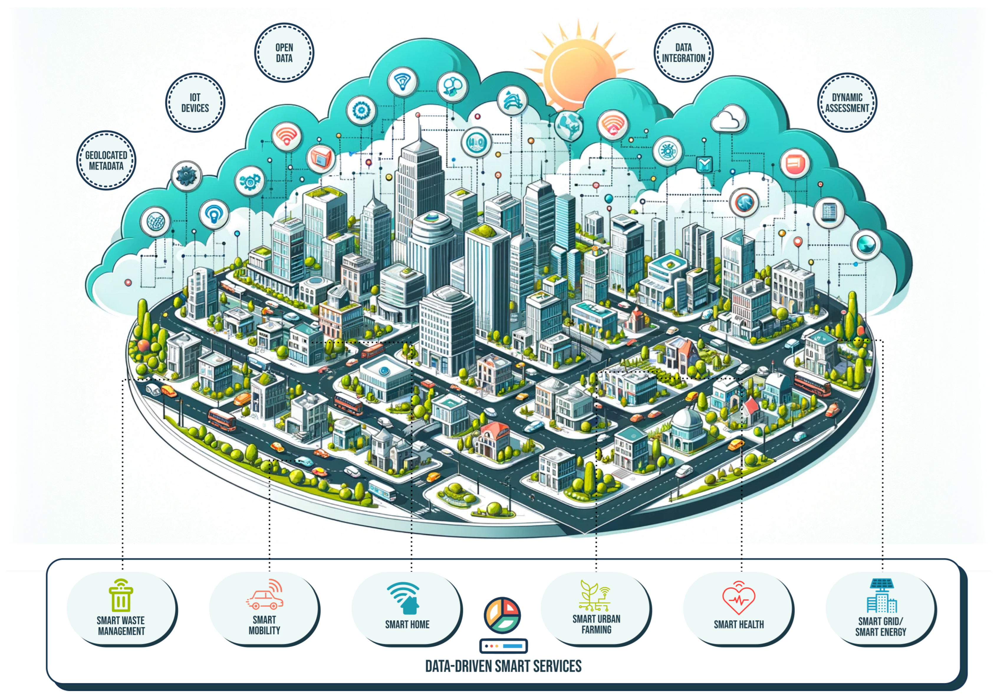
What makes temperature mapping studies exceptionally valuable in smart cities is their compatibility with other digital systems. For example, data gathered from sensors and thermal imaging during a temperature mapping assessment can be fed into smart city dashboards, integrated with traffic systems, weather stations, and energy grids.
By combining temperature mapping with IoT (Internet of Things), city planners can monitor temperature in real-time, predict heatwaves, and adjust energy distribution accordingly. This not only improves city living but also enhances disaster preparedness.
At Eximia360, we offer fully integrated temperature monitoring and mapping solutions that work seamlessly with smart city platforms. Our clients in Saudi Arabia appreciate the flexibility and scalability of our systems, especially when planning large infrastructure projects.
Benefits of Using Temperature Mapping in Smart Cities
- Improved Urban Comfort: By identifying hot zones and mitigating them, cities become more livable and energy-efficient.
- Energy Optimization: Targeted cooling strategies reduce reliance on air conditioning, especially in commercial districts.
- Public Health Enhancement: Minimizing urban heat islands reduces heat-related illnesses, particularly in vulnerable populations.
- Data-Driven Policy Making: Authorities gain accurate, location-based temperature data to support long-term sustainability goals.
Why Choose Eximia360
With years of expertise and a commitment to precision, Eximia360 stands as a trusted partner in conducting temperature mapping studies for urban, industrial, and environmental applications. We provide complete end-to-end services, from sensor deployment and data collection to analysis and strategic recommendations.
Our presence across Saudi Arabia—especially in Jeddah, Dammam, and Riyadh—allows us to offer localized solutions tailored to each city’s climate and urban layout.
Conclusion
As cities grow smarter, so should their approach to climate and environment. Temperature mapping studies are no longer optional—they are essential for designing efficient, safe, and sustainable urban environments. At Eximia360, we are proud to lead this transformation, helping shape the smart cities of tomorrow across Saudi Arabia.
Visit us at www.eximia360.com to learn more about our temperature mapping services and how we can support your next smart city project.


