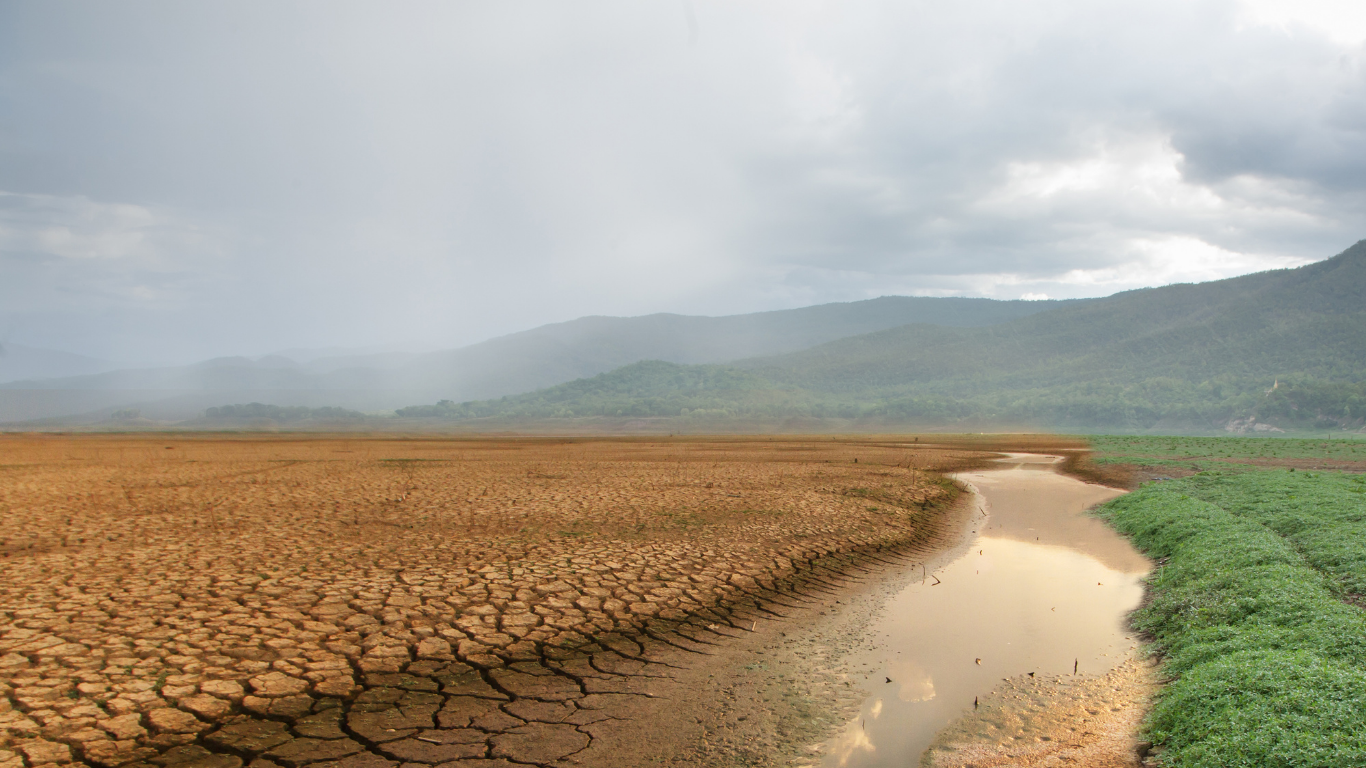
Urban farming has emerged as a vital solution to meet the food demands of rapidly growing cities. By utilizing rooftops, vertical farms, and controlled greenhouses, urban farming contributes to food security, reduces transportation costs, and promotes sustainability. However, maintaining the right climate for crops is a complex challenge—especially in regions with extreme temperatures like Saudi Arabia, including Jeddah, Dammam, and Riyadh. This is where a temperature mapping study becomes an essential tool for success.
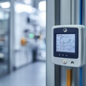
At Eximia360 (www.eximia360.com), we specialize in conducting detailed temperature mapping studies that enable urban farmers to understand and control the microclimates within their farming facilities. By collecting and analyzing temperature data, we help identify hot and cold spots, ensuring that every plant receives optimal growing conditions.
Why Temperature Mapping Study is Essential for Urban Farming
A temperature mapping study provides valuable insights into how heat is distributed across a farming facility. In controlled agriculture environments like greenhouses or vertical farms, uneven temperatures can lead to inconsistent crop growth, reduced yields, and higher operational costs.
In cities like Riyadh and Dammam, where daytime temperatures can soar, heat distribution becomes a serious concern. A temperature mapping study helps urban farmers:
- Identify Hot Zones – Detect areas where excessive heat can stress plants or cause damage.
- Optimize Cooling and Heating Systems – Adjust equipment placement to maintain uniform temperatures.
- Enhance Energy Efficiency – Prevent overcooling or overheating, which reduces energy waste.
- Improve Crop Quality – Ensure all plants receive the ideal conditions for growth.

The Role of Eximia360 in Sustainable Urban Farming
At Eximia360, we combine advanced sensors, real-time monitoring, and detailed analysis to perform temperature mapping studies tailored to urban farming environments. Our services in Saudi Arabia, Jeddah, Dammam, and Riyadh have helped farming facilities maximize efficiency and sustainability.
Our process includes:
- Initial Site Assessment – Understanding the layout, equipment, and existing challenges.
- Sensor Deployment – Placing temperature sensors strategically to capture accurate data.
- Data Analysis – Identifying patterns, trends, and anomalies in temperature distribution.
- Recommendations – Providing actionable steps to optimize temperature control systems.
- Ongoing Monitoring – Offering solutions for continuous improvement and efficiency.
By using the insights from a temperature mapping study, farmers can fine-tune their operations to achieve better yields, healthier crops, and reduced costs.
Temperature Mapping Study and Energy Savings
In urban farming, energy consumption for climate control can be significant. Air conditioning, ventilation, and heating systems are often the largest operational expenses. Without a temperature mapping study, these systems may be overused or misconfigured, leading to unnecessary costs.
By identifying hot spots and optimizing airflow, Eximia360 helps farmers in Jeddah, Riyadh, and Dammam reduce energy waste. This not only cuts expenses but also aligns with sustainable farming goals by lowering carbon emissions.
A Sustainable Future for Urban Farming in Saudi Arabia
The demand for fresh, locally grown produce is rising in Saudi Arabia, and urban farming is key to meeting this need. However, sustainability is only possible with precise climate control—and that requires a temperature mapping study.
Whether it’s a rooftop greenhouse in Jeddah, a vertical farm in Riyadh, or a hydroponic setup in Dammam, the principles remain the same: understand your environment, control your climate, and optimize your energy use.
At Eximia360, we are committed to supporting the growth of sustainable urban farming by offering expert temperature mapping studies across Saudi Arabia. Our mission is to help farmers produce high-quality crops while conserving resources and protecting the environment.
For more information or to schedule a temperature mapping study for your urban farming project, visit www.eximia360.com.