

In highly regulated industries such as pharmaceuticals, biotechnology, food storage, and healthcare, temperature mapping is not just a technical requirement—it’s a cornerstone of quality assurance and regulatory compliance. At Eximia360, we specialize in providing state-of-the-art temperature mapping services that help businesses maintain controlled environments with unmatched precision and reliability.
What Is Temperature Mapping?
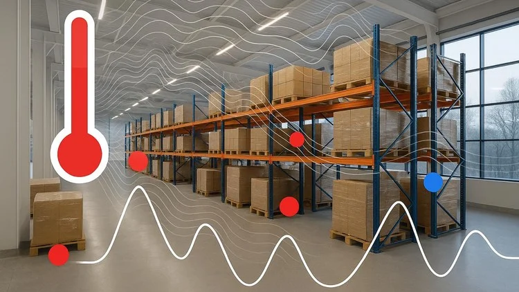
Temperature mapping is the process of measuring and documenting temperature distribution within a controlled environment, such as cold rooms, warehouses, freezers, incubators, and transport vehicles. This is critical to ensure that products, especially temperature-sensitive ones, are stored within defined limits at all times.
Whether it’s a pharmaceutical warehouse or a medical-grade freezer, fluctuations in temperature can compromise product quality, safety, and effectiveness. That’s why temperature mapping studies are a mandatory part of good manufacturing practices (GMP), GDP (Good Distribution Practices), and other global quality standards.
At Eximia360, we deliver cutting-edge techniques behind temperature mapping to ensure our clients exceed industry expectations. You can learn more about our offerings at www.eximia360.com.
The Importance of Temperature Mapping Studies
A temperature mapping study reveals potential hot and cold spots and confirms whether the HVAC or refrigeration system is uniformly maintaining temperature across the facility or unit. It helps businesses:
- Ensure regulatory compliance
- Improve quality control
- Prevent product loss due to temperature excursions
- Validate storage and transportation environments
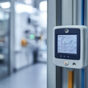
Our expert team at Eximia360 conducts comprehensive temperature mapping studies using high-precision data loggers, ensuring you receive accurate and actionable data.
The Cutting-Edge Techniques Behind Temperature Mapping
At Eximia360, we utilize advanced techniques in temperature mapping that set us apart. Our process is built around accuracy, efficiency, and compliance, and includes:
- High-Resolution Data Loggers
We deploy data loggers with ultra-fine resolution and real-time monitoring capabilities. These devices are calibrated and validated before each use to guarantee precision in every temperature mapping study. - 3D Mapping Layouts
We offer three-dimensional mapping of your facility to visualize temperature gradients across space. This allows clients to understand airflow patterns and thermal variations in great detail. - Automated Data Acquisition Systems
Our temperature mapping services include the latest in data logging software and automation. This minimizes human error and accelerates report generation for audit and validation purposes. - Risk-Based Mapping Strategy
Not all areas carry the same risk. Our approach tailors temperature mapping studies to focus on high-risk zones, optimizing both cost and time for our clients. - Comprehensive Reporting & Documentation
Eximia360 delivers fully compliant reports in alignment with FDA, MHRA, WHO, and EU GMP guidelines. Our documentation makes audits simpler and ensures long-term traceability.
To explore the cutting-edge techniques behind temperature mapping, visit us at www.eximia360.com.
Industries We Serve
From pharmaceutical companies and hospitals to logistics and cold-chain storage providers, temperature mapping is vital across sectors. Eximia360 supports businesses by offering tailored services that meet both operational and regulatory needs.
We understand that each facility is unique. That’s why we conduct customized temperature mapping studies to ensure optimal results and long-term sustainability.
Why Choose Eximia360?
- Expertise in regulatory compliance
- Customized solutions for different industries
- 24/7 monitoring and support
- Fast turnaround time for reports
- Experienced validation professionals
When you choose Eximia360, you choose quality, trust, and advanced technology. Our clients rely on our expertise in delivering the cutting-edge techniques behind temperature mapping—backed by years of field experience and a passion for precision.
Let’s Map Your Success
If you’re looking for professional temperature mapping services, Eximia360 is your go-to partner. Our team ensures that every environment you manage is validated, compliant, and reliable.
Visit us at www.eximia360.com to learn more about how our temperature mapping studies can protect your products and elevate your operational excellence.